GIS Coordinate Systems & Transformations Explained
Posted on February 6, 2025 • 9 min read • 1,841 wordsGIS transformations: Coordinate systems and their applications for accurate spatial data analysis.
Applications of Coordinate Systems and Transformations in GIS: A Detailed Look
Understanding coordinate systems and transformations is essential for anyone working with Geographic Information Systems (GIS). These fundamental concepts underpin everything from mapping and spatial analysis to data integration and visualization. In this blog post, I will explain practical applications that highlight why understanding this topic is so crucial. Let’s move away from purely theoretical concepts to look at how these transformations shape real-world GIS workflows.
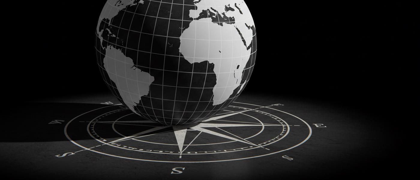
What Are Coordinate Systems And Why Are They Necessary?
In GIS, real world features, whether it’s a building or a park or a whole city, exist in space. For these to be mapped correctly a framework must be in place to correctly locate them on a map or database. This is what we use coordinate systems for. Think of it as using a highly specific GPS grid. In this way, locations become measurable objects described by numerical values. We encounter several different kinds, here are a few prominent types:
- Geographic Coordinate Systems (GCS): Based on angular measurements on the Earth’s surface—latitude and longitude—they form a grid across a model of the planet which is often simplified into a sphere. While precise it is often used for display only not as a basis for calculation and measure of spatial features.
- Projected Coordinate Systems (PCS): Represent the curved surface of Earth on a 2D plane. To minimize distortion this kind of transformation, referred to as a “map projection” requires the implementation of more mathematical considerations when transforming it. They are better suited to analysis where planar calculations make sense.
- Cartesian Coordinate Systems (CCS) This rectangular system, commonly called an xy plane uses linear measurements to map spatial entities, mostly used in local levels.
Transformations: Adapting data for use in GIS
Coordinate systems have associated transformations which act on datasets to put them correctly into the required output environment. Geometric transformations involve manipulations that shift, scale, or rotate feature data without necessarily changing the underlying geographic space represented. Conversely, transformations between different coordinate systems ensure the integration of geospatial data sets across different environments.
Understanding and using such methods, ensure accuracy, precision, and allow seamless manipulation, as well as inter operability between geographic and attribute databases, for every practical work that deals with geospatial analysis. Let’s explore what you are most likely to find in everyday use of these transformations.
1. Spatial Data Alignment & Registration: Precision and Accuracy for analysis
Imagine you want to overlay an aerial photo over a topographic map. If these data are in different coordinate systems you’ll see misaligned data: this may vary between simple shifts to more dramatic distortion. Transformations between coordinate systems become critical to solve this problem by precisely matching the map features so we achieve an acceptable fit between source data.
In GIS spatial registration techniques are frequently used with georeferenced datasets for many purposes from creating very accurate city mapping to complex scientific investigation like glacier movements. Accurate registrations ensures:
- Proper feature alignment when integrating disparate spatial datasets.
- The geometric fit to be suitable for measuring the location and extent of spatial features.
- Accurate measurements to carry our reliable and sound analytical operations, when working with datasets spanning several sources.
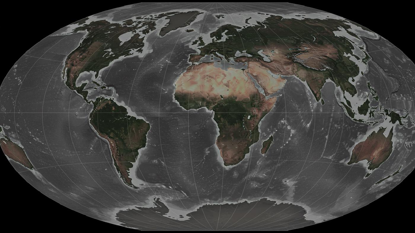
2. Map Projections: Displaying a Curved Surface on a Flat Screen
The earth has a sphere shape, this poses some important limitation when the datasets need to be depicted in 2 dimensions. How do we draw a map on flat surface without altering or compromising real measures like distances angles or areas? That’s why different methods known as map projections, have been invented throughout history. These involve the use of specific transformations that distort the globe and “unwrap” the surface onto a flat plane, or a cylinder, or a cone. All three map projections, will result with 2 dimensional mappings with specific spatial distortions according to their transformation. This results in some well-known mapping techniques such as:
- Mercator projection, known for keeping the shapes accurate but introducing a lot of area distortions in polar regions which makes Greenland and Africa look similar. This projection has specific uses especially in nautical charts but in recent times their distortion was considered detrimental for mapping especially since most people and the world live mostly outside its center.
- Transverse Mercator projection, with less distortions closer to equator zones which has a great impact in local large scale mapping projects with more realistic measures at mid latitudes.
- Azimuthal Equidistant projection, with area, angle and shape distortions yet distances along the axis remain proportional which has become very useful for measuring distances from a reference point in large regions.
Working with such methods you will be aware that these mapping approaches make different assumptions which are directly tied to their specific transformation methods, which in turn create spatial distortions, specific to different scenarios which can have severe and potentially detrimental repercussions if wrongly applied, without a clear understanding of them. The type of mapping, the application goal should have paramount importance on when deciding which coordinate transformation (i.e map projection) should be used.
3. Georeferencing: Aligning Scanned Images or Legacy Data with a Geographic Framework
Working with legacy map datasets is very common. They need a correct geometric correction that consists of several operations which map an input with potentially local distortions, and non standardized measures to fit into a predefine geometric space. These datasets might be satellite images or aerial photos and must be aligned with spatial reference of higher accuracy (usually a database using global satellite reference such as GSP positions), before using the imagery for further analysis in the GIS.
This involves a complex spatial transformations that may use linear polynomials, spline transformations, rubber-sheeting or polynomial warps: which usually make use of several control points that must be accurately placed in the datasets as benchmarks before conducting a suitable mathematical transformation based on these markers. Some example are shown below:
- Linear transformations maintain straight lines when transforming your dataset which provides an ideal result only for simpler data formats. It’s simple use is ideal for quick analyses but in certain applications more elaborate processes should be employed.
- Affine transformations have similarities with Linear Transformation, also, they keep features as shapes in transformation, i.e parallel features remain so but more flexibility is permitted through scale shearing which adds parameters and complexity to achieve much better adjustments with a few number of control points.
- Polynomial transformations will allow curved shapes, but usually with a high number of parameters this procedure becomes a computationally intensive, although its great accuracy often outweighs its burden to be often the chosen model in photogrammetry or surveying methods
- Thin-plate spline models work better with low deformation scenarios, they rely heavily on local control point locations and are more stable since there is less polynomial dependency among them, but more points might be needed to conduct high accuracy corrections in different mapping project.
The parameters associated to each method are chosen so to best preserve spatial relations among points, line, polygons and pixels, and these transformations methods usually achieve different outputs on different conditions depending on nature and properties of the transformation being implemented.
4. Spatial Analysis: Calculating Area, Distance, and Performing Spatial Joins and Overlays
As you already probably have an idea, coordinate transformations play an extremely important role during a huge number of different types of analyses in a GIS environment. In certain scenarios calculating areas accurately and reliably must not use geodetic measures as that method assumes curved 3d space when areas and length are computed based on a flat mapping which also needs corrections to accurately provide those. Geometric transformations play a significant role during spatial analytical work, as they:
- Maintain data positional accuracy which directly influences measurement outcomes such as perimeters areas and volumes that have important ramifications in different practical projects like city mapping and environmental studies
- Enable distance and area calculations by putting every variable into an environment in which geometric calculation makes physical sense.
Additionally, spatial analysis often requires datasets to be compared by means of their geometric properties using functions as join overlay and buffer creation, just to name some, they rely heavily on precise feature registration so they can create spatial correlations between datasets that need to reside on the same, planar projected coordinate space and must not come distorted as this would affect severely the precision and meaningfulness of every analysis undertaken.
5. Data Integration: Bridging Spatial Gaps from disparate sources
When spatial data come from disparate sources that use different coordinate systems, integration becomes tricky. Spatial analysts often rely on using coordinate transformation algorithms, such as Helmert, affine or more complicated polynomial transformations so to put these on the same system to use spatial analyses across data derived from multiple independent projects.
This usually requires several steps before an analysis can take place and these are mainly performed before doing overlay, comparison, and geometric analysis, as datasets have:
- Differently located origins, or specific angular directions which might require adjustments based on well-known coordinate location to rotate, scale or shear and re position your data according to specific requirement for an analysis that is useful.
- Involves complex geometrical differences which a robust system of mapping requires to achieve highly accurate fit before data fusion is properly completed to enable useful spatial interpretations.
6. Real-Time Spatial Analysis
Dynamic analyses of geospatial phenomena often depend on on-the-fly spatial transforms. Imagine traffic navigation apps that provide route directions based on satellite signals received in GCS system but are recomputed into user-based specific map-projections to offer an appropriate visualization for everyday users or for more accurate traffic simulations. Such on-the-fly real-time coordinate transformation mechanisms ensure that all relevant datasets can quickly be transformed on the background, from original form to proper formats for a useful and informative result. This enables functionalities such as
- Updating positioning systems with high levels of dynamic responsiveness.
- Calculating the best path for deliveries considering updated time for congestion that require several data sources at the same time from traffic apps and base map coordinates
- Showing different cartographic datasets without visible distortion regardless of the zoom, user settings, or type of analysis performed.
Conclusion
From accurate georeferencing and multi-source data integration, to accurate calculations and visual precision in cartographic projects, it’s essential for a variety of processes. The importance of the subject calls for GIS specialists and geospatial users to have not only conceptual understanding but an adequate and proficient approach in a highly technical sense. Such complex methods will be encountered in all kinds of practical activities, since GIS is nowadays implemented everywhere. Knowing when and how to perform these steps not only helps to refine research outcome but makes users achieve high degree of control on the precision and reliability of all geographical information analyses performed.
By delving into the specifics of how to apply correct spatial and geometrical transformations users and geospatial analysts can greatly improve their capability to solve real problems through all that it is required in any professional practical spatial data workflow.