GIS vs Remote Sensing: Key Differences
Posted on February 4, 2025 • 9 min read • 1,888 wordsKey differences between GIS and remote sensing technologies explained. Understand data and analytical tools.
GIS vs. Remote Sensing: Understanding the Key Differences
For anyone new to geospatial technologies or for someone who already works with spatial data, the terms GIS and Remote Sensing often come up. Sometimes they are confused for being synonymous. In truth, Geographic Information Systems (GIS) and Remote Sensing represent distinct yet highly interconnected approaches to studying our world. Understanding the key differences between the two will make a huge difference for both university students entering the field and current professionals wanting to know how each can augment existing methods. Let’s explore how these fields overlap and where their capabilities lie.
What Is GIS (Geographic Information Systems)?
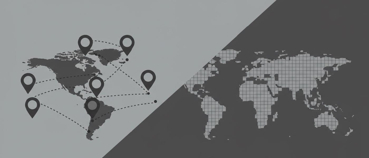
At its most fundamental a GIS serves as a computer-based framework used for integrating organizing, managing, analyzing and visualizing location based information. A GIS allows us to not only see “where” things are on Earth, but also facilitates exploration into questions such as “what if” or “what else is there,” about places and phenomena based on various factors.
GIS Core Components
GIS has several components that allow for spatial analysis which include:
- Mapping & Visualization: Creating maps by layering multiple datasets (e.g. roads over satellite images) with varying attributes and applying visual styles
- Data management: A GIS typically includes a method to acquire process validate catalog store manage manipulate edit convert organize and export geographical and geographical-attribute information.
- Analysis: By using algorithms a GIS can help you understand the location and spatial relations using topology, queries, feature relationships and other processing functions
GIS software can process vector data (points lines polygons) raster data and textual tabular and even point cloud formats to perform location based analysis. At its very base a GIS stores real world feature and real world processes as a layer based system, allowing users to overlay various pieces of information in geographic context.
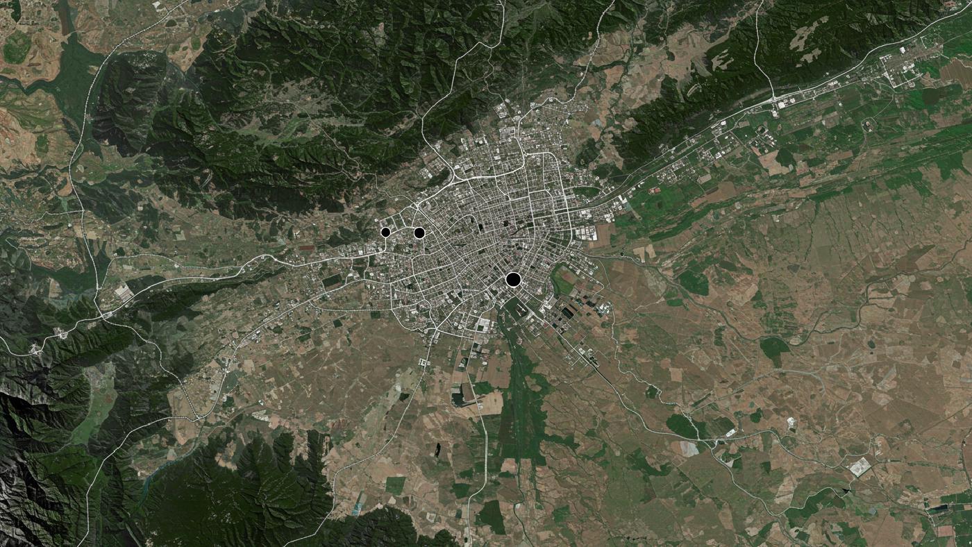
GIS Applications
Here are some practical GIS uses in various sectors:
- Urban Planning: Planning optimal transportation networks using roads and demographic layers as an overlay for determining where new housing developments could fit or selecting locations for businesses based on road access
- Emergency Services: Determining quickest evacuation routes from specific points with fire safety services marked as layers.
- Real Estate: Highlighting high value real estate plots based on the neighborhood amenities with satellite based imagery showing its green coverage for added interest for potential buyers
- Logistics: Creating routing analysis based on elevation models, road networks, with road maintenance schedules added to improve navigation to target delivery locations.
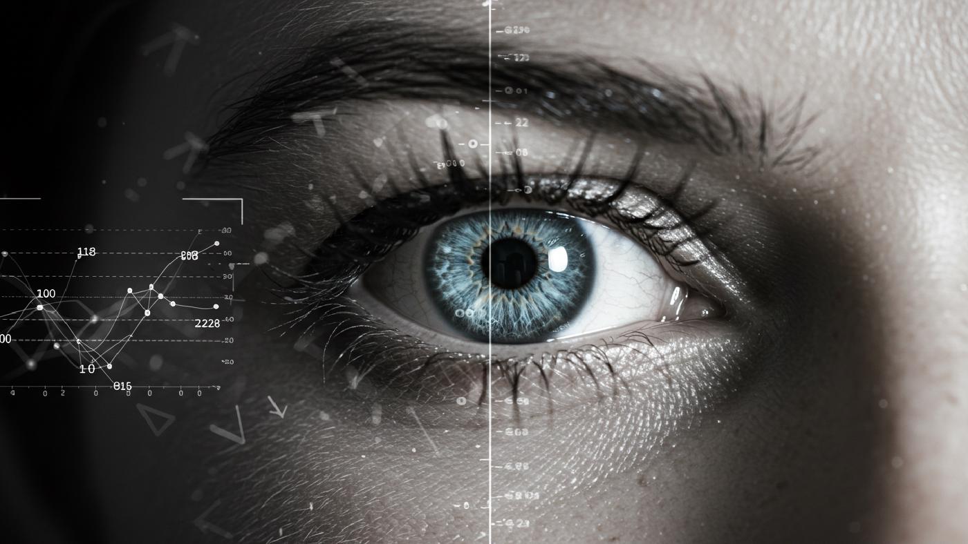
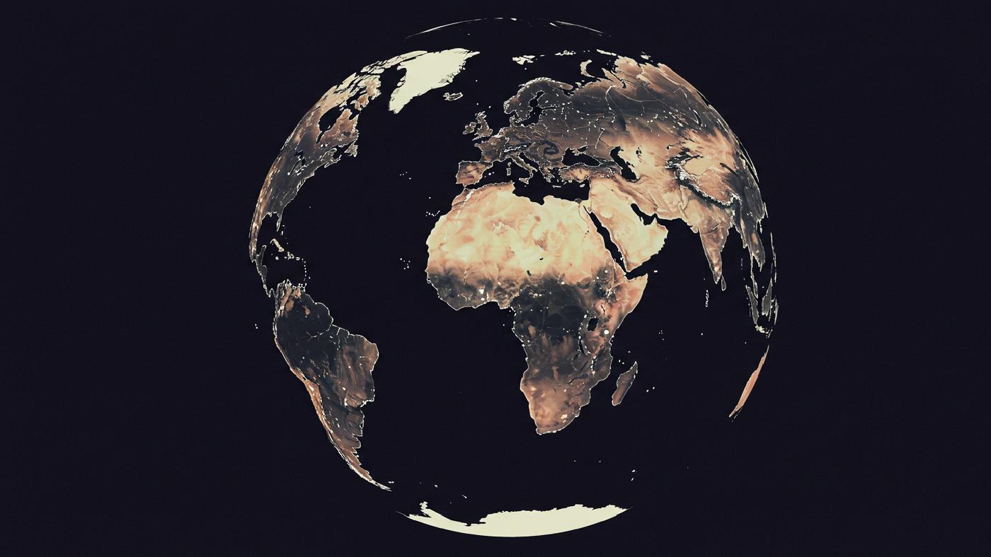
What is Remote Sensing?
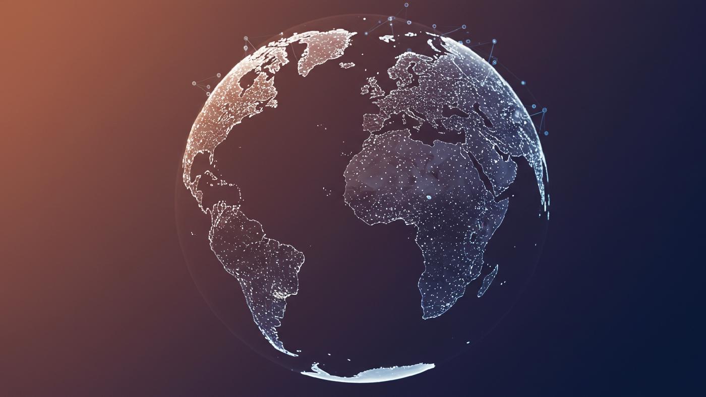
Remote sensing, in contrast, is the art and science of gathering information about the earth’s surface and environment, without making direct contact with it. Instead, sensors on platforms like satellites and airplanes measure light, radio waves or sound signals.
Core Elements of Remote Sensing
Some things to keep in mind in the remote sensing process include the following aspects:
- Data Acquisition: It begins by measuring incoming energy across different parts of the electromagnetic spectrum such as near infrared or ultra violet bands using cameras or specialized sensors.
- Image processing: Collected information gets translated into raster based images that represent values with numeric or binary pixel grids in which each value is associated with the real world features and characteristics it represents such as height vegetation or light reflectance.
- Interpretation: Using human interpretation or image analysis techniques (both automated and semi-automated) these values can be made into geospatial products.
Remote Sensing Applications
- Environmental Monitoring: Satellite based monitoring of land-cover changes deforestation trends or glacier recession and global vegetation mapping for use in ecological modeling or climate science.
- Agriculture: Farm-monitoring based on high and low resolution multispectral imagery, using algorithms such as the Normalized Difference Vegetation Index to detect anomalies like diseased areas of crops for selective and effective distribution of chemical fertilizers.
- Resource Management: Studying the subsurface using Synthetic Aperture Radar (SAR) images to see beyond surface obstacles and pinpoint oil or gas deposits deep below, or mineral rich areas, also assisting exploration and resource exploitation
- Disaster Response: Rapid data mapping during crises to direct resources or to assess areas of highest risk. For example thermal infrared remote sensors could detect sources of heat during urban wildfires allowing first responders to approach fires in a coordinated manner.
Key Differences Between GIS and Remote Sensing
Analysis Versus Observation
The main difference between GIS and remote sensing lies in the approach. GIS, on one hand, concentrates primarily on the integration of pre-existing data in order to make better models of Earth’s surface, usually to explore various spatial correlations with vector data by overlaying thematic maps. On the other hand Remote sensing seeks to derive raw information of real time measurements about specific physical and chemical components of any geographic area on earth or its atmosphere in many parts of the electromagnetic spectrum.
While GIS mainly focuses on location analysis using already existing data derived from survey measurements and human interpretation remote sensing is always focused on a process to acquire and interpret electromagnetic wave activity measured via a satellite camera or another kind of remotely placed sensor. Remote sensing has raster data which tends to contain numerical properties such as reflectance from Earth in different bands. Therefore, an image is only the start point and usually gets analyzed mathematically to be used for purposes such as image classification, anomaly detection or change detection. A GIS usually integrates multiple sources including survey data, GPS points and map data from previous records for specific analysis tasks such as suitability, modeling, distance or connectivity.
Data Types: Vector and Raster
GIS systems usually utilize both vector data for boundaries roads, points and rasters to act as map background layers. They usually are optimized for creating feature-to-feature links, performing proximity calculations and spatial selections or for creating data derived from topology. In contrast, remote sensing, at its origin relies most heavily on raster datasets such as imagery acquired from space. Remote sensing utilizes vector datasets usually when the images need a classification data reference. The purpose of remote sensing algorithms are mostly related to raster and array processing rather than shape analysis. A common scenario is to vectorize automatically extracted elements by identifying and digitizing geographic objects seen in satellite or aerial photos. Remote Sensing algorithms may derive other image forms too such as elevation models created with Lidar.
Tools of the Trade
Software suites, programming languages, APIs, algorithms vary among the different fields with differences based on the approaches in processing data. While GIS is more about the integration and organization of multiple heterogeneous sources (databases vector and raster data sources). Software for a Geographic Information System frequently has libraries that facilitate map creation. A Remote Sensing library frequently works with multiband array mathematical operations with tools used for things like classifications histograms and various filters for image enhancement. Some systems use algorithms from other scientific communities as a black-box process which obscures the underlying algorithmic steps. However, GIS also implements remote sensing algorithms and other scientific tools as they overlap, such as a terrain visualization component. Most programs like QGIS, ArcGIS, ERDAS or ENVI provide a toolset that spans all three major domains of mapping GIS and Remote Sensing to different degrees with a greater specialization towards one over others. There are also software packages that handle highly specialised and specific tasks.
Outcomes and Applications
GIS models the environment as existing physical and social conditions using a layered approach to find and extract spatial correlations between data, while remote sensing strives to extract useful information from direct sensor measurements. The end products in GIS are mostly data modeling visualizations that allow users to compare multiple map layers while Remote sensing aims to classify extract identify transform features using pixel values and physical relationships to enhance interpretations using automated or human-guided decision systems. The applications of both also reflect the processes behind them in practice such as route navigation with GIS but disaster mapping with Remote Sensing data.
Intersection Points
It’s useful to remember, these distinctions can at times blur as you examine the areas where the two disciplines are converging with increasingly common tools:
Geospatial Analysis: There is an overlap between GIS and Remote sensing known as Geospatial Analysis in which a geospatial analytical framework integrates GIS data with data captured by Remote Sensors such as in using Multispectral Data with a DEM or doing point cloud terrain mapping.
Visualization: Tools from both the GIS and Remote Sensing domains are used jointly to combine multispectral data, shapefiles, elevation grids and textual attribute based datasets into various map formats for better interpretation. These techniques can include 2D as well as 3D mapping output.
Data Integration: This step frequently converts between raster, and vector data formats while also utilizing formats such as csv , excel, text and others with methods to extract specific geographical regions with various clipping and extraction methods. A combination of GIS and Remote Sensing analytical techniques allow you to turn this raw data into meaningful analytical output or compelling visuals.
Conclusion
GIS and Remote Sensing serve different objectives using various tools to interpret aspects of the natural environment with Remote sensing collecting the information and a GIS giving us context based on geography. The boundaries that separate both approaches may blur but both together in some form or another are required for anyone interested in any facet of geospatial analysis and planning from environmental monitoring, land-use planning, resource management, emergency response or various scientific activities such as archaeological dig locations or even astrophysics mapping. The combination of data acquisition processing integration analysis visualization are very versatile in an endless list of domains, limited only by imagination and skill. This is the best reason to understand what these methods are so you can confidently create tools and analytical techniques of your own. The differences we touched on above offer essential insight as you step deeper into geospatial technology regardless of what is your area of specialisation. It is essential to choose tools and workflows based on your data source, problem definition and output objectives in order to have meaningful analysis in GIS.
By continuing in this journey, not only can you get your work done much more quickly you will also find ways that your analytical tool chains can produce entirely new ideas in solving geospatial problems. And since it all goes together, that can have an impact in every part of our lives, starting in the neighborhood near where we live, the areas where we do business, and on to global scientific issues facing humankind as a whole. The power and scope of the work that a geospatial expert does often seems limitless and this can be a little bit overwhelming or at the very least require one to pause in humble admiration to the magnitude of their task in mapping all we can observe about our world and even going beyond. By learning more about geospatial software and libraries from a technical point of view as outlined in this book you gain deeper insights about where all of these pieces come together to generate truly unique data, methods and systems that will make any type of problem in this field solvable no matter the size or complexity of its datasets.
You can view other interesting articles like these at the following URLs
• https://www.earthdata.nasa.gov/learn/earth-observation-data-basics/remote-sensing