GIS


January 19, 2025 • 10 min read • gis
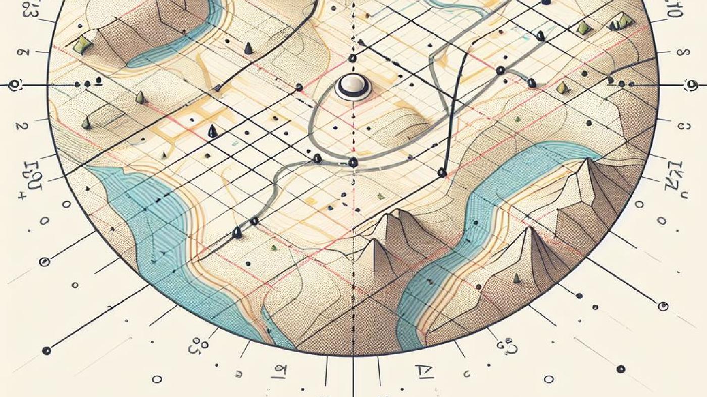
Floating Solar Site Selection: GIS & MCDA
GIS mapping for floating solar: suitability analysis via MCDA & AHP
GIS
January 19, 2025 • 10 min read • gis
Floating Solar Site Selection: GIS & MCDA
GIS mapping for floating solar: suitability analysis via MCDA & AHP