GIS Spatial Data Modeling Fundamentals
Posted on February 2, 2025 • 14 min read • 2,871 wordsBeginner's guide to spatial modeling in GIS: understand concepts and real-world applications.

Spatial Modeling in GIS: A Beginner’s Guide
Geographic Information Systems (GIS) have revolutionized how we understand and interact with our world. But beneath the surface of visually appealing maps lies a complex framework of spatial models. These models serve as the very backbone of GIS, converting the real world into a digital environment where we can perform analyses extract valuable insights and ultimately improve decision-making process. In this guide, we’ll take a journey into the fascinating world of spatial modeling, focusing on its key concepts. We will discuss fundamental principles of space and time for an easy but concise start. We will try to clarify everything step by step and avoid overwhelming with complicated formulas at first step. This way hopefully everything would be a much more engaging and enjoyable for you. Let’s get started!
Real World Phenomena and Abstractions?
We are surrounded by both natural phenomena and human-made creations each exhibiting unique attributes. Natural phenomena such as landscapes, weather patterns or geological formations operate within natural laws and exist irrespective of human influence. In contrast, human-made phenomena such as buildings, roads or agricultural fields, are the result of human design and activities. For most GIS users the interest would be representing real world phenomena using these modelling approaches.
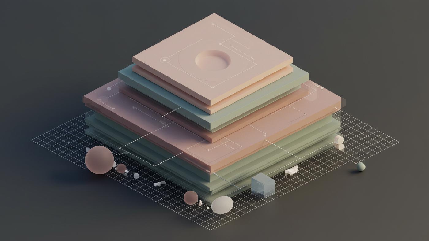
To handle these diverse phenomena we need abstract models that translate our experiences into a manageable representation of the world, organized in thematic layers for clear purpose and focus. It helps us separate different components of spatial information according to particular goals and themes. For example, a land use model differs fundamentally from a cadaster, despite the fact both of them deal with same underlying landscape features but they interpret spatial data for their own very different perspectives. It’s like how different lenses produce a completely different images but same real world scenario is projected through them. Layers play vital role in all that process to organise spatial components in clear subsets. Keep it in mind although it is something abstract for analytical purposes the practical side requires us to manage them with concrete, technical definitions.
Spatial Data and Information
Spatial data provides crucial facts, thematic or attribute-based qualities or aspects in geometric and temporal form of features on the earth surface. GIS technology has capability to collect, transform or process spatial data into more understandable information to enable knowledge discovery and facilitate various applications. Understanding the concept and process as follows will help:
- Real-world phenomena are not just a set of random spatial, or geometric data they come with different thematic or non-spatial character too, beside they exist in both time and space.
- Features can be understood as a represention or a digitalized description or a computer interpretation of these real-world phenomena. This makes them distinct concepts than that of phenomena itself.
- We capture, translate then convert real world spatial information in digital data formats that is referred as spatial data . These datasets become main operational component in any geospatial project or analysis.
- GIS techniques extract meaningful, insightful, interpretable and actionable intelligence, knowledge and wisdom using a variety of analytical approach, this processing information which was captured initially, this whole processing method is referred to spatial data handling.

Space and Time in GIS
Understanding what we know about Space and Time and its relationship has always been fundamental to human exploration. This relationship is important in a field that is all about location like geographic information systems. Throughout history, philosophers, physicists and mathematician has spent considerable amount of energy to interpret those core aspects of our reality. So how they were interpreted in different epochs is critical to understand fundamental concepts that underly every spatiotemporal data modelling process in GIS
Pre-Newtonian concepts of space and time
In ancient times many ideas and hypothesis were born from the ancient greek civilization, where Philosophers Heraclitus and Parmenides offer contrasting views. Heraclitus focused on the importance of constant change with ‘we cannot step into the same river twice’ as his core view. Meanwhile, Parmenides saw ‘real world’ as unchanging entity where ‘empty’ space does not exist and everything is connected by ‘solid and compact existence’, ideas further refined by Zeno through famous paradox ‘Achilles and the Tortoise’ suggesting motion or change does not exist.
Another Greek philosopher Democritus provided important ideas in contrast to Parmenides’ philosophy, Democritus believed in absolute and empty space filled with immutable, indivisible atoms forming material bodies with spatial dimension. Later Greek scholars started focusing on more geometric way of interpretations. In this effort, we got Platonic solids used to describe world composition by Plato while Euclid produced a geometric modelling system ‘Elements’ defining our perceived physical world till the late 19th century.

Space, time and Modern Science
With time Aristotle stated the absolute necessity of existence, saying that ‘Empty Space was impossible’. His perspective of space is limited to objects surrounding something and defines space as that relation or ‘container’ between objects. This philosophy saw time as measure of changes by which one could differentiate between before or after using the motion principle and comparing one position to another by order, and he also defines two basic view in perceiving space; ‘absolute space as a place’ or ‘relative space as a relationship system between objects’.
Then came modern science. New ideas started to emerge. Scientists like Copernicus introduced the sun as centre of the planetary system (Heliocentrism). Meanwhile, Johannes Kepler and Galileo Galilei provided more in-depth analysis about planets with mathematics. Later, Isaac Newton introduced an idea of absolute space, somewhat contradicting his theory on motion mechanics, whilst Leibniz defended the view that space only exists through relationships and their understanding through calculus as founders.
In the 18th Century German Philosopher Kant focused on space and time as fundamental human intuition stating that time and space was absolute priori understanding we all hold in our brain not developed by experience of the world and are inherent tools for us to interpret observation or signals from the real world. So we need such intuitions not experience itself to relate them for processing which gives importance for their roles.
Contemporary Insights and their relation to Geographic analysis
With the discovery of non-Euclidean geometry and progress in field theory, it is apparent that geometry cannot simply be defined as mere descriptor of our perceived world but rather ‘as another system’. Concepts by Faraday and Maxwell changed how we think about empty space as filled with energies giving much relevance to spatial interpretations by mathematical methods, while theory of relativity introduced the four dimensional concept ‘spacetime’, combining time and space, while concepts from quantum mechanics showed the microscopic world differs from how our senses receive information about space time and matter at human or large scale. These perspectives of various philosophers and scientist provides great value when working on geospatial technologies for our data handling and management perspective.
Concepts in Spatial Information Systems
Geospatial technology relies on practical interpretation of time and space in context of spatial analysis that reflects real-world geographic space and time. It involves human interpretations influenced by cultural background for designing these data-handling process in the form of maps or databases etc for various GIS project. In this manner, how we model this geographic information has tremendous importance because ‘all maps are models and all models are abstraction of our reality with different assumptions’ hence understanding of these assumption should be fundamental before adopting or designing our own unique analysis strategy and procedure.
Modeling Reality: From Maps to Databases
While all maps are model, we have to realize they are just visual representation which have been extremely helpful throughout our history as a species for visual interpretations or insights. In this process a model abstracts or transforms information from the real world based on some perceived attributes or assumptions, so maps provide the ability for humans to capture the complexities of the world by using various colors or geometric symbols as visual interpretation methods. In short, ‘a map is abstraction’ hence its nature will differ from that of the ‘reality itself’ they represent in simplified version. They do so, in a specific level of details depending on selection of scales that inherently introduces limitations for that model or visual interpretation. In this regards GIS systems based on databases are designed as efficient data management, manipulation, analytical or problem-solving approaches in much robust way than that of a ‘simple visual medium’, it is much more dynamic as all process is computer based without restrictions of physical mediums and can handle real world problem with a level of high-accuracy and efficiency in ‘any scale’.
Maps vs. Databases: Two approaches for geospatial Modeling
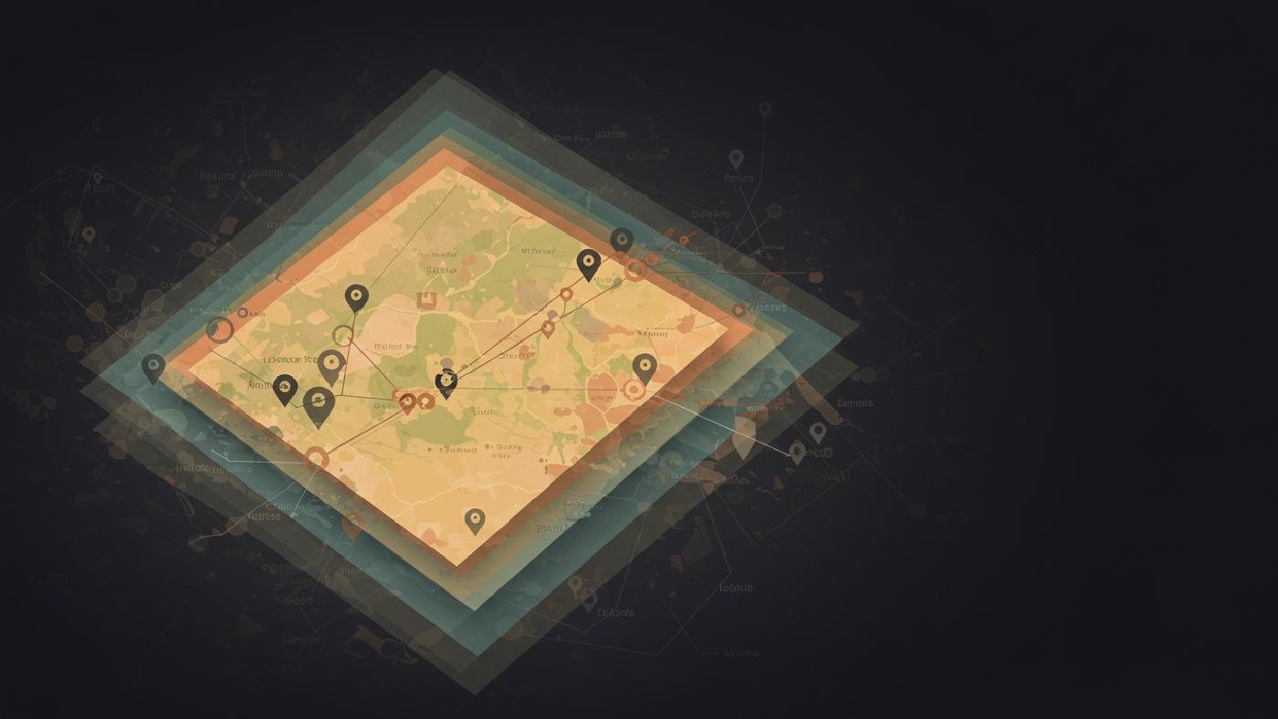
Maps serve as important visual interpretations. Historically maps are considered as the most common representation or model of the world. From ancient maps to modern day cartography there have been lot of sophistication over its development by scientific advancement or even some elements of artwork itself. They act both a medium for ‘data storage’ and ‘visual presentation’ which brings a limitation too by introducing a rigid and scaled 2-dimensional surface or paper with a specific projection which can limit its usability in some situations as spatial features exist and change dynamically over both time and spatial plane. Spatial databases however, have no scale and are not restricted in dimension. A GIS database (sometimes known as geodatabases), stores spatial data in an independent and versatile manner with the provision of having geometric, thematic and temporal attributes as components for representing spatial phenomenon that is directly interpretable by computers and spatial tools for spatial analytical or knowledge discovery procedures. Therefore the nature of geographic databases enables seamless interactions with spatial data with freedom from scale restrictions and boundary constraints of static physical map or visual outputs.
Space and Time as a central components of Real-World Models
Modeling real world can be explained by applying a morphic mapping (structure preserving transformation) where you have some characteristics on the initial set/structure remain unchanged or invariant on the mapping or modelling to new target set/structure. Spatial Modeling applies structure preserving methods to extract real world objects, which inherently possess time, and space coordinates/attributes to translate these into mathematical model and abstractions that preserve specific structural attributes or behavior patterns in digital format, but it has important trade offs since we never capture 100 percent characteristics of any physical process in digital way. So in a general case when representing world model into GIS you need careful thought processes or modelling strategy that captures major properties for your use-case scenario. While working with models keep in mind we perceive space and time usually in our everyday experience as separate linear component of 3 dimensional euclidian space where a passing moment can also create a transformation in time in many real life applications, therefore this perception shapes data storage and processing approaches of spatiotemporal database as well. Time becomes especially important and its management with geometric data must be accounted for every dataset used or processed. While spatial dimensions give our dataset geometric property time transforms and modifies their characteristics making a proper management essential. This highlights importance of having well managed and thoughtfully modelled approach in any GIS project.
Real-World Models and Data Models: Representation is key.
Spatial databases, while being more versatile data storage medium as explained previously, are usually a more comprehensive and organized versions with specific type of representations (digital structure) of ‘real world’ as model. Model generalization has two sides one of cartographic/visual and one as that of spatial models or a digital data transformation/simplification to accommodate the necessary output needs or technical requirements by GIS or other data analysis frameworks, by applying this approach user creates multiple representations of a same feature in a dataset with appropriate amount of spatial or structural complexities that helps facilitate better insight or problem-solving activities. GIS feature spaces need an understanding of various characteristics as invariant entities, while these geometric forms go through transformations. This process of maintaining ‘structure and consistency of topological features is called topological consistency that becomes fundamental for creating and maintaining any digital representation of ‘space’ or spatial objects. For thematic and geometric data there will always some level of uncertainty associated as phenomena like soil layers, linguistic description of space have no well-defined or crisp boundary that are best addressed by fuzzy concepts. As discussed before objects change in both space and time domains in real-world scenario hence a good data model should account all necessary properties to efficiently address any application specific GIS data requirement in that perspective.
Spatial and Spatiotemporal Data Models: capturing reality
Data models for spatial phenomena or spatial representation techniques have largely been adopted from concepts based in philosophy or mathematical perspective on reality. To address real-world challenges of varying levels of complexities, different strategies had to be taken over years. There are many models used for spatial representation but two of them are most often implemented as mentioned here below:
- Field based Models treat phenomena as continuous which allow for values in ‘every position of the geometric space’; Examples include atmospheric pressure, or the digital terrain model for representing elevation data etc. -Object based models instead perceive the space in term of discrete boundaries that are represented by a collection of geometric entities each having its specific properties and interrelationship. In these model outside of defined boundaries is viewed empty space . Example would be all components and objects related to administrative structure, building boundaries, road networks, vegetation patches and alike
Spatial data modelling also encompasses all geometric and temporal information as it exists not just in space, but also carries with it important temporal dimensions too. It’s the temporal properties such as the historical record or dynamic changes of properties in different objects which demands better ‘modelling approaches’, which introduces more flexibility to our models so that these also ‘capture properties’ that allows manipulation and proper understanding of features change, dynamic motion in time too, we term them spatiotemporal data model for this specific reason. Therefore a solid model that capture changes along a time-line should focus on key attributes or requirements as below;
- Time density: Is the data continuous in its nature of recording, such as all records are available at all time instant (i.e, temperature or air pressure), or discrete as only selected ‘key records’ such as time stamping of when something occurred in certain point?
- Time dimensionality: Here we differentiate two kind of times. the world time representing real world process and event recording and the database/digital time the time when records were documented and saved in system. There might be many implications or considerations from application view, when one may focus only on specific form.
- Time order: here time itself can vary on which concept is in question such as cyclic or repeating in seasons and days of a week or can have branching property in case of event simulations where multiple outcome is explored by possible outcomes in scenarios at a given time frame. But its typically a ‘linear structure with unidirectional trend’.
- Measures of time how accurately the temporal data is defined and represented (seconds, millisecond), where how long a object/features is monitored as duration will define ‘time resolution and granularity’. Some system focus on millisecond or seconds, other in thousands of years which are obviously based on user application needs.
Various Spatiotemporal data modeling is implemented using concepts mentioned above:
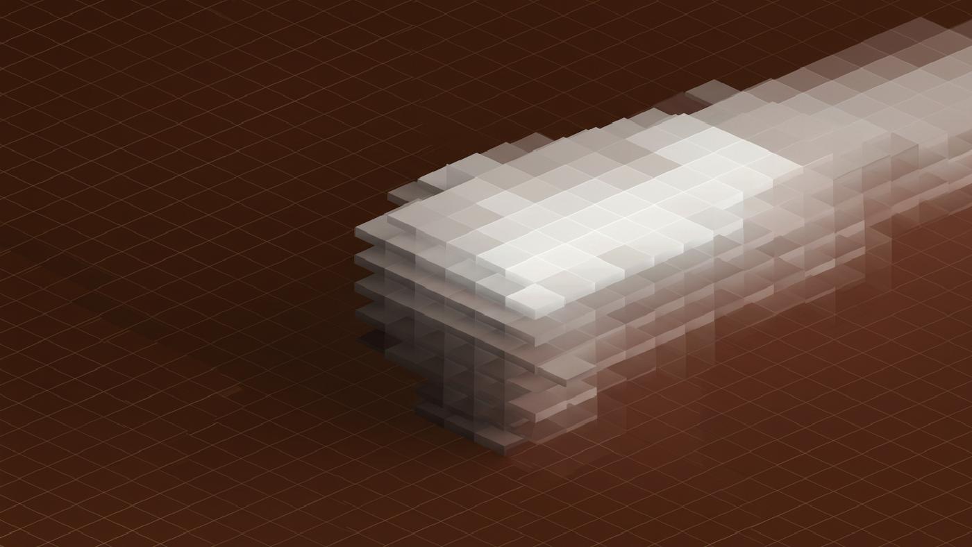
Space-Time cube models visualize temporal features across time in the form of a cube with space in x, y, dimensions, this creates worms like trajectories for objects in a dataset across different temporal spans.
Snapshot models provides time stamped dataset based on linear absolute, and discrete time properties that may require storing duplicate features to document changes at different time points .
Space Time Composite approach build an interconnected mesh between all changes from a starting location. Which means for every record ‘historical details’ for polygons with varying degree or resolution are built within dataset.
Event-Based models starts with initial states and build subsequent data structures from recorded changes based on points of changes along a timeline which may allow both absolute or relative data collection
SpatioTemporal Object Models relies on objects or a composite of objects (collection) which contain their spatial, thematic and temporal extent within atoms where each spatial feature itself contains spatio temporal components, with the feature itself being considered the main element of interest .
Final Remarks
Spatial modeling is central to geographic information science and technologies, it involves the extraction, abstraction and interpretations of complex relationships from both static or dynamic real world using variety of approaches by well defined ‘mathematical concepts’. From philosophical and physics-based perspective on nature of time or space and it’s underlying behavior has helped GIS develop strong foundations for many problem solving solutions with various algorithms and tools. While models often simplified real-world phenomena, and their inherent uncertainties it is very essential to grasp core aspects, principles or concepts behind every representation used by every framework used. So with continuous learning, advancement we hope to see greater insights from better tools based on better understanding of these core issues. This understanding ultimately contributes towards better use of the geographic world.